
Super El Niño: Unraveling Its Surprising Impact on U.S. Weather

Why does a warm blob of water near the equator sometimes make your winter in Ohio weirdly mild, while also helping dump biblical rain on California? That’s the maddening charm of El Niño: it’s not “weather,” it’s the mood swing that nudges the whole atmosphere into a different groove.
El Niño is the warm phase of a natural Pacific Ocean cycle called ENSO, short for El Niño Southern Oscillation. In normal years, trade winds push warm surface water westward toward Indonesia and Australia, kind of like you’re sweeping the warm bathtub water into one corner. Colder water upwells near South America to replace it. During El Niño, those trade winds weaken or even wobble backward, and the warm surface water sloshes back toward the central and eastern equatorial Pacific. That changes where thunderstorms like to form over the tropics. And because tropical thunderstorms are basically giant heat engines that drive global air currents, shifting them is like moving the engine mounts on a car while it’s still going 70 on the highway.
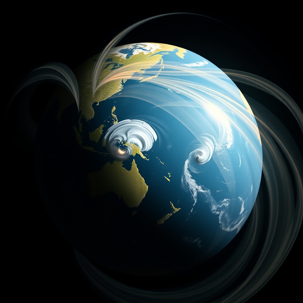
So what makes a “Super El Niño?” There’s no official superhero cape handed out by the ocean. It’s a nickname for unusually strong events, typically when sea surface temperatures in a key region of the equatorial Pacific (often called Niño 3.4) run far above average for months, and the atmosphere actually responds. That second part matters. You can warm the surface a lot, but if the winds and storm patterns don’t rearrange themselves, it’s like turning up the bass on speakers that aren’t plugged in. A true big El Niño couples ocean and atmosphere: warmer water fuels more convection (thunderstorm activity) farther east than usual, which further weakens the trade winds, which allows even more warm water to spread. Feedback loop. Nature loves those.
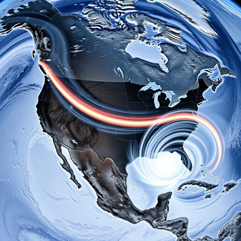
When that coupling is strong, the jet stream, that fast river of air that steers storms, tends to shift. Over the U.S., El Niño often energizes the subtropical jet stream and pushes it across the southern tier of the country. That can mean a stormier, wetter winter for parts of California and the Southwest, and sometimes a cooler, wetter vibe along the Gulf Coast and Florida. Meanwhile, the northern U.S. can tilt warmer and somewhat drier than average because the storm track spends more time south and the cold air gets less opportunity to spill down and stick around.
But “often” is doing a lot of work there. El Niño stacks the deck; it doesn’t dictate the exact hand you’ll be dealt. Weather is still weather: chaotic, noisy, and local. One week you can have a classic El Niño-fueled parade of Pacific storms into California, and the next week a stubborn high-pressure ridge parks itself and says, “Nah, we’re doing sunshine.” Also, the U.S. is big. What feels like “El Niño winter” in Los Angeles can look like “normal winter” in Denver and “what even is this” in Boston.
Still, the patterns can be surprisingly consistent in the big picture, especially in winter. For California, El Niño is famous for boosting the odds of heavy precipitation, especially in the south. That doesn’t automatically mean drought gets cured. I’ve watched people talk like it’s a simple trade: El Niño arrives, drought leaves. But the water story is messy. Rain can come in a few intense storms that cause flooding and mudslides, then vanish for weeks. Snow level can be higher in warmer storms, meaning more rain and less mountain snowpack, which is bad news for spring and summer water storage. And if the storms hit areas with recent wildfire burn scars, the ground acts like a waxed car hood, turning rain into fast-moving debris flows. Same storm, totally different consequences.

Then there’s the tornado question, because every “Super El Niño” explainer eventually lands there. El Niño can influence the setup for severe weather, but not in a neat, clickbait way. In general, El Niño winters and springs can increase storminess over parts of the southern U.S., which can enhance the ingredients for severe storms in some regions and times. But tornado outbreaks depend on very specific day-to-day alignments: moisture, instability, wind shear, and a triggering storm system. El Niño can make certain ingredients more likely in a seasonal sense, yet it can’t promise where and when the atmosphere will line them up like dominoes.
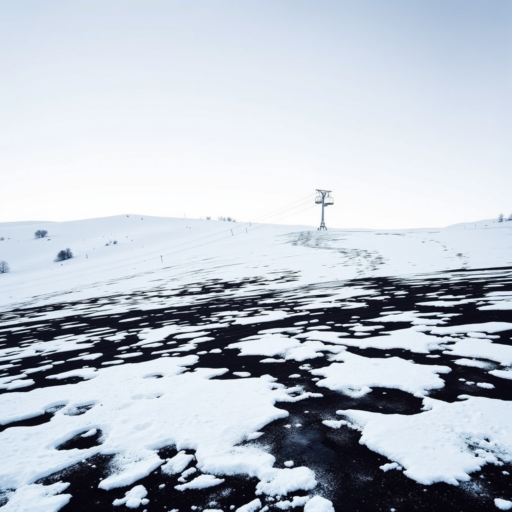
Meanwhile, the Pacific Northwest often gets a different deal. Many El Niño winters nudge the storm track south, which can mean Washington and Oregon trend drier and milder than average. Ski resorts might get fewer big dumpings of snow, and mountain snowpack can suffer. That’s one of those weird moments where “wetter California” and “drier Pacific Northwest” can happen in the same season, because the storm highway simply gets rerouted.
Now zoom out beyond the U.S., because “Super El Niño” is a global meddler. It often brings heavier rain and flooding risk to parts of coastal South America, while raising drought and fire risk in places like Indonesia and Australia. It can suppress Atlantic hurricane activity by increasing wind shear over the Atlantic, which tends to tear developing storms apart. That’s a fun one to mention at the kitchen table because it sounds backwards: warmer oceans should mean more hurricanes, right? But hurricanes aren’t just about warm water. They’re also about a gentle, supportive atmosphere. El Niño can make the Atlantic atmosphere less welcoming even while the planet overall is warmer.
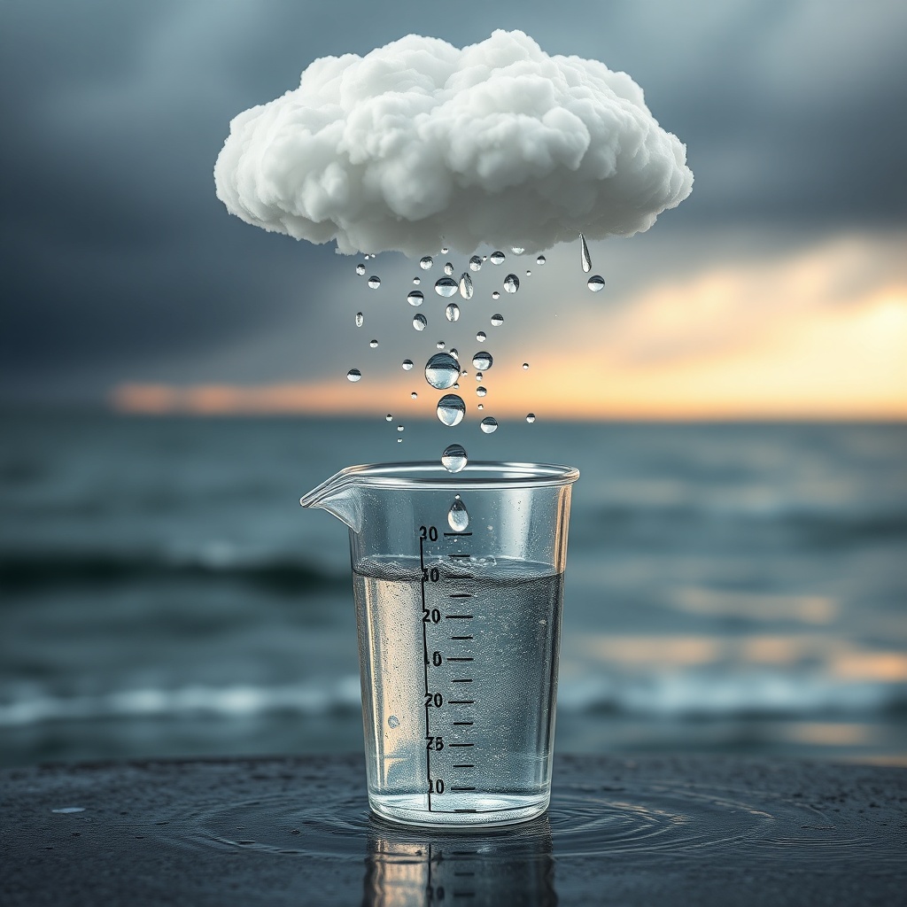
Here’s the extra twist: climate change is warming the baseline ocean. That means when El Niño piles warm anomalies on top of an already warmer Pacific, the impacts can feel more extreme, even if the “anomaly” (the difference from average) isn’t unprecedented. Think of it like starting a fever from 99.5 instead of 98.6. The same extra degree hits differently. Warmer air also holds more water vapor, so when storms do form, they have more moisture to work with. That can raise the ceiling on extreme rainfall. It doesn’t mean every El Niño becomes a disaster movie. It means the atmosphere has more juice available when the pattern points storms at you.
Another thing people miss is the lag. El Niño develops over months, peaks typically in winter, and then its fingerprints can persist even as the ocean starts relaxing back toward neutral. Some of the biggest U.S. impacts show up in winter and early spring, because that’s when the jet stream is strongest and the atmosphere is most willing to reorganize around tropical forcing. Summer is a different beast. El Niño can still matter, but the signal is often weaker and easier for random weather variability to bully out of the way.
So if you’re trying to be a smart consumer of “Super El Niño” headlines, here’s the mindset I use: El Niño is a probability shifter. It nudges storm tracks, temperature tendencies, and risk envelopes. It does not schedule storms on your calendar. The most honest forecast is a set of weighted outcomes, not a single cinematic storyline.
The surprising part, to me, is how a few degrees of ocean warmth in a narrow tropical strip can yank on weather thousands of miles away. It’s like finding out your ceiling fan controls your neighbor’s thermostat. The atmosphere is one connected fluid. El Niño just happens to be one of the clearest reminders that “local weather” is often the downstream gossip of the tropics.
Loved this story? Pulse it.
Pulses bubble up to the channel — they help us see which stories deserve sequels.
You might also like
Vault
Historical Torture Methods and Devices Explained

Sharon Stone's Husband and the Komodo Dragon Encounter

Ben Affleck Card Counting Casino Ban Explained